
Cartography
Original price
$149.99
-
Original price
$149.99
Original price
$149.99
$149.99
-
$149.99
Current price
$149.99
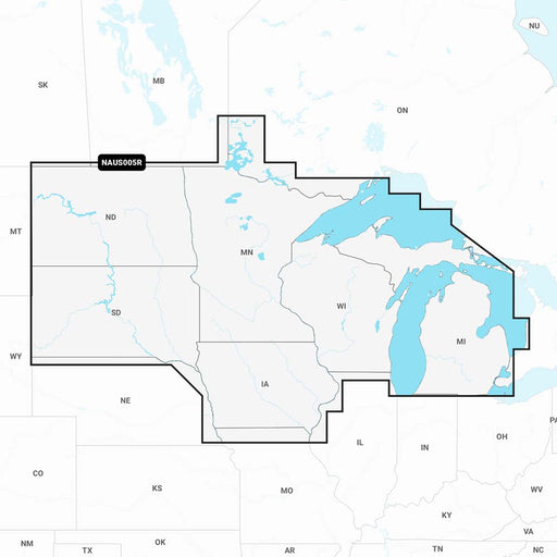
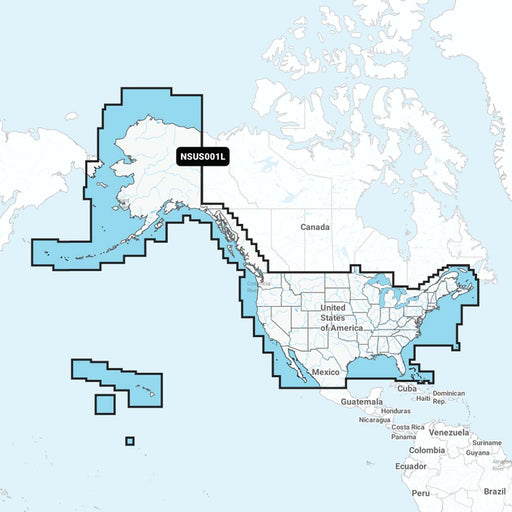
Navionics NAUS005R - U.S. North - Navionics+ [010-C1368-30]
Navionics
in stock
NAUS005R - U.S. North - Navionics+Get the world’s No. 1 choice in marine mapping - with the best, most up-to-date Navionics+ cartography on your c...
View full details
Original price
$149.99
-
Original price
$149.99
Original price
$149.99
$149.99
-
$149.99
Current price
$149.99
Original price
$249.99
-
Original price
$249.99
Original price
$249.99
$249.99
-
$249.99
Current price
$249.99
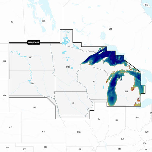
Navionics Platinum+ NPUS005R - U.S. North [010-C1368-40]
Navionics
Only 3 left!
NPUS005R - U.S. NorthGet the world’s No. 1 choice in marine mapping - with the best, most up-to-date Navionics Platinum+ cartography on your compa...
View full details
Original price
$249.99
-
Original price
$249.99
Original price
$249.99
$249.99
-
$249.99
Current price
$249.99
Original price
$149.99
-
Original price
$149.99
Original price
$149.99
$149.99
-
$149.99
Current price
$149.99
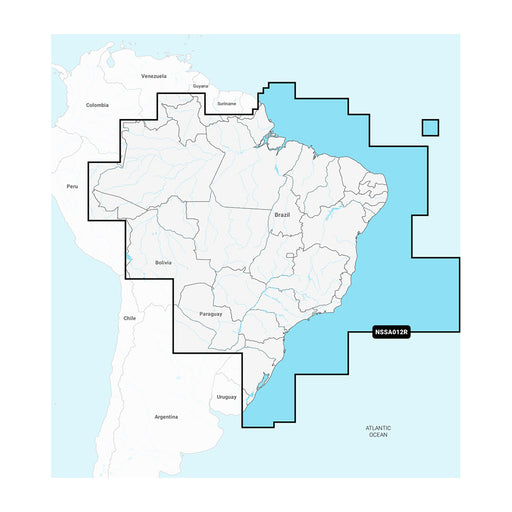
Garmin Navionics+ NSSA012R Brazil [010-C1453-20]
Garmin
Only 4 left!
Navionics+™ NSSA012R BrazilFeaturing vibrant colors, a streamlined interface, and combined coastal/inland content with a popular Navionics® style ...
View full details
Original price
$149.99
-
Original price
$149.99
Original price
$149.99
$149.99
-
$149.99
Current price
$149.99
Original price
$219.99
-
Original price
$219.99
Original price
$219.99
$219.99
-
$219.99
Current price
$219.99
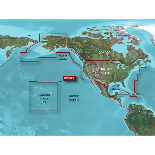
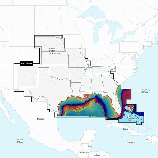
Garmin BlueChart g3 HD - HXUS604x - US All Canadian West - microSD/SD [010-C1018-20]
Garmin
in stock
BlueChart® g3 HD - HXUS604x - US All & Canadian West - microSD™/SD™CoverageProvides detailed coastal coverage of the U.S., including the East ...
View full details
Original price
$219.99
-
Original price
$219.99
Original price
$219.99
$219.99
-
$219.99
Current price
$219.99

Original price
$149.99
-
Original price
$149.99
Original price
$149.99
$149.99
-
$149.99
Current price
$149.99
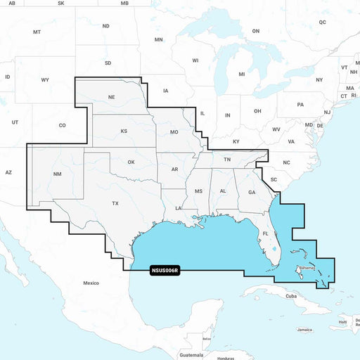
Navionics NAUS006R - U.S. South - Navionics+ [010-C1369-30]
Navionics
in stock
NAUS006R - U.S. South - Navionics+Get the world’s No. 1 choice in marine mapping - with the best, most up-to-date Navionics+ cartography on your c...
View full details
Original price
$149.99
-
Original price
$149.99
Original price
$149.99
$149.99
-
$149.99
Current price
$149.99
Original price
$149.99
-
Original price
$149.99
Original price
$149.99
$149.99
-
$149.99
Current price
$149.99
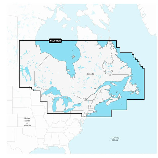
Garmin Navionics+ NSUS012R Canada, East Great Lakes [010-C1484-20]
Garmin
Only 1 left!
Navionics+™ NSUS012R Canada, East & Great LakesFeaturing vibrant colors, a streamlined interface, and combined coastal/inland content with a p...
View full details
Original price
$149.99
-
Original price
$149.99
Original price
$149.99
$149.99
-
$149.99
Current price
$149.99
Original price
$149.99
-
Original price
$149.99
Original price
$149.99
$149.99
-
$149.99
Current price
$149.99
Garmin Navionics+ NSUS006R U.S. South [010-C1290-20]
Garmin
Only 2 left!
Garmin Navionics+™ NSUS006R U.S. SouthGet the world’s No. 1 choice in the marine mapping (based on 2020 reported sales) — with the best, most up-t...
View full details
Original price
$149.99
-
Original price
$149.99
Original price
$149.99
$149.99
-
$149.99
Current price
$149.99
Original price
$249.99
-
Original price
$249.99
Original price
$249.99
$249.99
-
$249.99
Current price
$249.99
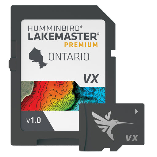
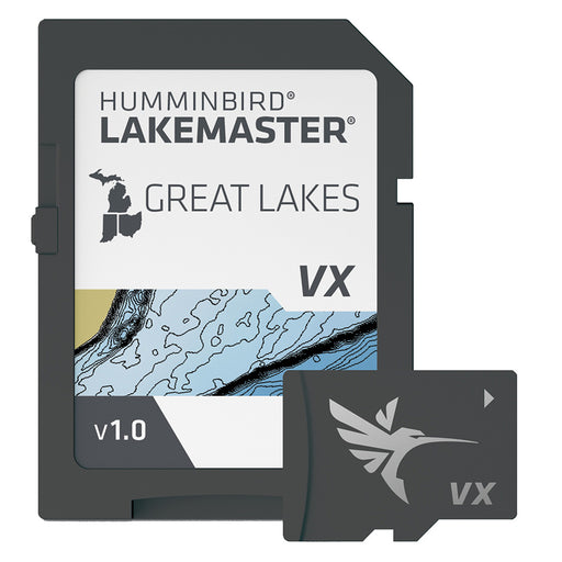
Humminbird LakeMaster VX Premium - Ontario [602020-1]
Humminbird
Only 5 left!
LakeMaster® VX Premium - OntarioAn upgraded premium mapping solution in Humminbird LakeMaster VX to help anglers understand what is under the wate...
View full details
Original price
$249.99
-
Original price
$249.99
Original price
$249.99
$249.99
-
$249.99
Current price
$249.99
Original price
$99.99
-
Original price
$99.99
Original price
$99.99
$99.99
-
$99.99
Current price
$99.99
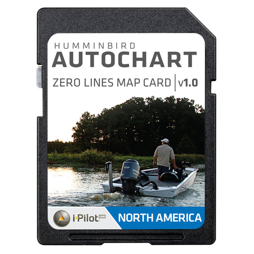
Humminbird AutoChart Zero Lines Map Card [600033-1]
Humminbird
in stock
AutoChart Zero Lines Map CardThe Zero Lines map card is the starting point for building your maps with AutoChart or AutoChart Live. With these all...
View full details
Original price
$99.99
-
Original price
$99.99
Original price
$99.99
$99.99
-
$99.99
Current price
$99.99
Original price
$199.99
-
Original price
$199.99
Original price
$199.99
$199.99
-
$199.99
Current price
$199.99
Garmin Navionics+ NSUS001L US Coastal Canada [010-C1287-20]
Garmin
in stock
Navionics+ NSUS001L US & Coastal CanadaGet the world’s No. 1 choice in the marine mapping (based on 2020 reported sales) — with the best, most...
View full details
Original price
$199.99
-
Original price
$199.99
Original price
$199.99
$199.99
-
$199.99
Current price
$199.99
Original price
$177.00
-
Original price
$177.00
Original price
$177.00
$177.00
-
$177.00
Current price
$177.00
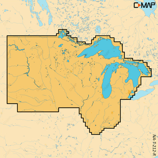
C-MAP REVEAL X - U.S. Lakes North Central [M-NA-T-212-R-MS]
C-MAP
Only 3 left!
REVEAL™ X - U.S. Lakes North CentralCOMPATIBILITY WITH SIMRAD NSX SERIES ONLYExperience the X Generation of C-MAP charts - with game-changing Shad...
View full details
Original price
$177.00
-
Original price
$177.00
Original price
$177.00
$177.00
-
$177.00
Current price
$177.00
Original price
$249.99
-
Original price
$249.99
Original price
$249.99
$249.99
-
$249.99
Current price
$249.99
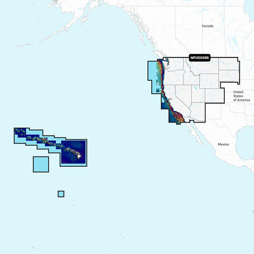
Navionics Platinum+ NPUS008R - U.S. West [010-C1371-40]
Navionics
in stock
NPUS008R - U.S. WestGet the world’s No. 1 choice in marine mapping - with the best, most up-to-date Navionics Platinum+ cartography on your compat...
View full details
Original price
$249.99
-
Original price
$249.99
Original price
$249.99
$249.99
-
$249.99
Current price
$249.99
Original price
$249.99
-
Original price
$249.99
Original price
$249.99
$249.99
-
$249.99
Current price
$249.99
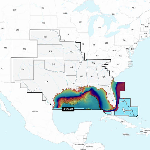
Navionics Platinum+ NPUS006R - U.S. South [010-C1369-40]
Navionics
in stock
NPUS006R - U.S. SouthGet the world’s No. 1 choice in marine mapping - with the best, most up-to-date Navionics Platinum+ cartography on your compa...
View full details
Original price
$249.99
-
Original price
$249.99
Original price
$249.99
$249.99
-
$249.99
Current price
$249.99
Original price
$149.99
-
Original price
$149.99
Original price
$149.99
$149.99
-
$149.99
Current price
$149.99
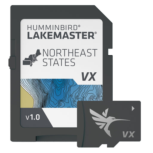
Humminbird LakeMaster VX - Northeast States [601007-1]
Humminbird
Only 2 left!
LakeMaster® VX - Northeast StatesAn upgraded mapping solution in Humminbird LakeMaster VX to help anglers understand what is under the water’s sur...
View full details
Original price
$149.99
-
Original price
$149.99
Original price
$149.99
$149.99
-
$149.99
Current price
$149.99
Original price
$149.99
-
Original price
$149.99
Original price
$149.99
$149.99
-
$149.99
Current price
$149.99
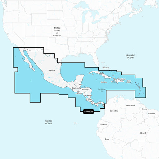
Navionics NASA010R - Central America Caribbean - Navionics+ [010-C1459-30]
Navionics
in stock
NASA010R - Central America & Caribbean - Navionics+Get the world’s No. 1 choice in marine mapping - with the best, most up-to-date Navionics+ ...
View full details
Original price
$149.99
-
Original price
$149.99
Original price
$149.99
$149.99
-
$149.99
Current price
$149.99
Original price
$149.99
-
Original price
$149.99
Original price
$149.99
$149.99
-
$149.99
Current price
$149.99
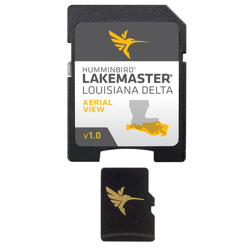
Humminbird LakeMaster Aerial Satellite View - Louisiana Delta [600050-1]
Humminbird
Only 4 left!
LakeMaster Aerial Satellite View - Louisiana DeltaHumminbird® LakeMaster® now offers high resolution aerial photography of the Louisiana Delta on ...
View full details
Original price
$149.99
-
Original price
$149.99
Original price
$149.99
$149.99
-
$149.99
Current price
$149.99
Original price
$249.99
-
Original price
$249.99
Original price
$249.99
$249.99
-
$249.99
Current price
$249.99
Garmin Navionics Vision+ NVUS006R U.S. South [010-C1290-00]
Garmin
in stock
Garmin Navionics Vision+™ NVUS006R U.S. SouthGet the world’s No. 1 choice in marine mapping (based on 2020 reported sales) — with the best, most u...
View full details
Original price
$249.99
-
Original price
$249.99
Original price
$249.99
$249.99
-
$249.99
Current price
$249.99
Original price
$249.99
-
Original price
$249.99
Original price
$249.99
$249.99
-
$249.99
Current price
$249.99
Garmin Navionics Vision+ NVUS007R U.S. East [010-C1291-00]
Garmin
in stock
Garmin Navionics Vision+™ NVUS007R U.S. EastGet the world’s No. 1 choice in the marine mapping (based on 2020 reported sales) — with the best, mos...
View full details
Original price
$249.99
-
Original price
$249.99
Original price
$249.99
$249.99
-
$249.99
Current price
$249.99
Original price
$199.99
-
Original price
$199.99
Original price
$199.99
$199.99
-
$199.99
Current price
$199.99
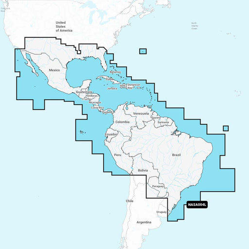
Navionics NASA004L - Mexico, Caribbean to Brazil - Navionics+ [010-C1364-30]
Navionics
in stock
NASA004L - Mexico, Caribbean to Brazil - Navionics+ Get the world’s No. 1 choice in marine mapping - with the best, most up-to-date Navionics+ car...
View full details
Original price
$199.99
-
Original price
$199.99
Original price
$199.99
$199.99
-
$199.99
Current price
$199.99
Original price
$149.99
-
Original price
$149.99
Original price
$149.99
$149.99
-
$149.99
Current price
$149.99
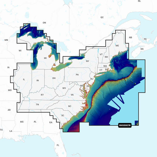
Navionics NAUS007R - U.S. East - Navionics+ [010-C1370-30]
Navionics
in stock
NAUS007R - U.S. East - Navionics+Get the world’s No. 1 choice in marine mapping - with the best, most up-to-date Navionics+ cartography on your co...
View full details
Original price
$149.99
-
Original price
$149.99
Original price
$149.99
$149.99
-
$149.99
Current price
$149.99
Original price
$149.99
-
Original price
$149.99
Original price
$149.99
$149.99
-
$149.99
Current price
$149.99
Humminbird LakeMaster VX - Great Lakes [601002-1]
Humminbird
in stock
LakeMaster® VX - Great LakesAn upgraded mapping solution in Humminbird LakeMaster VX to help anglers understand what is under the water’s surface ...
View full details
Original price
$149.99
-
Original price
$149.99
Original price
$149.99
$149.99
-
$149.99
Current price
$149.99
Original price
$199.99
-
Original price
$199.99
Original price
$199.99
$199.99
-
$199.99
Current price
$199.99
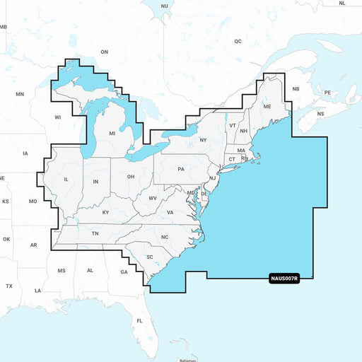
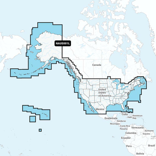
Navionics NAUS001L - U.S. Coastal Canada - Navionics+ [010-C1366-30]
Navionics
in stock
NAUS001L - U.S. & Coastal Canada - Navionics+Get the world’s No. 1 choice in marine mapping - with the best, most up-to-date Navionics+ cartog...
View full details
Original price
$199.99
-
Original price
$199.99
Original price
$199.99
$199.99
-
$199.99
Current price
$199.99
Original price
$349.99
-
Original price
$349.99
Original price
$349.99
$349.99
-
$349.99
Current price
$349.99
Garmin BlueChart g3 Vision HD - VUS004R - New York - microSD/SD [010-C0705-00]
Garmin
Only 2 left!
BlueChart® g3 Vision® HD - VUS004R - New York - microSD™/SD™Coverage:Providence to New York, includes Narragansett Bay, all of Long Island, the en...
View full details
Original price
$349.99
-
Original price
$349.99
Original price
$349.99
$349.99
-
$349.99
Current price
$349.99
Original price
$199.99
-
Original price
$199.99
Original price
$199.99
$199.99
-
$199.99
Current price
$199.99
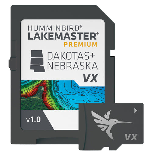
Humminbird LakeMaster VX Premium - Dakota/Nebraska [602001-1]
Humminbird
in stock
LakeMaster® VX Premium - Dakota/NebraskaAn upgraded premium mapping solution in Humminbird LakeMaster VX to help anglers understand what is under ...
View full details
Original price
$199.99
-
Original price
$199.99
Original price
$199.99
$199.99
-
$199.99
Current price
$199.99